Know more. Risk less.
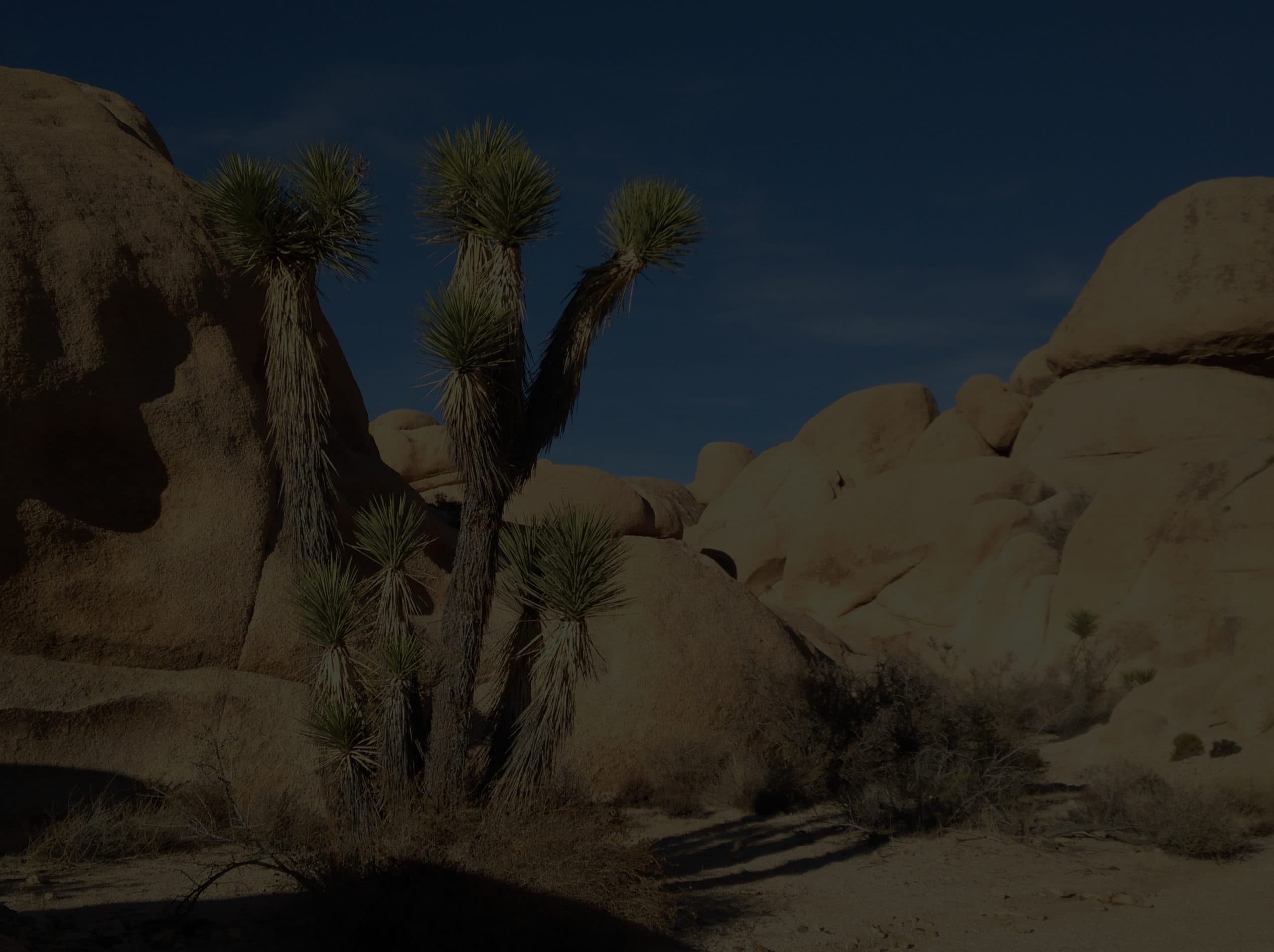
The outdoors is getting more unpredictable. GOES translates real-time environmental data into outdoor health intelligence, built by 27 wilderness medicine physicians, available offline, and ready when you are.
Featured In


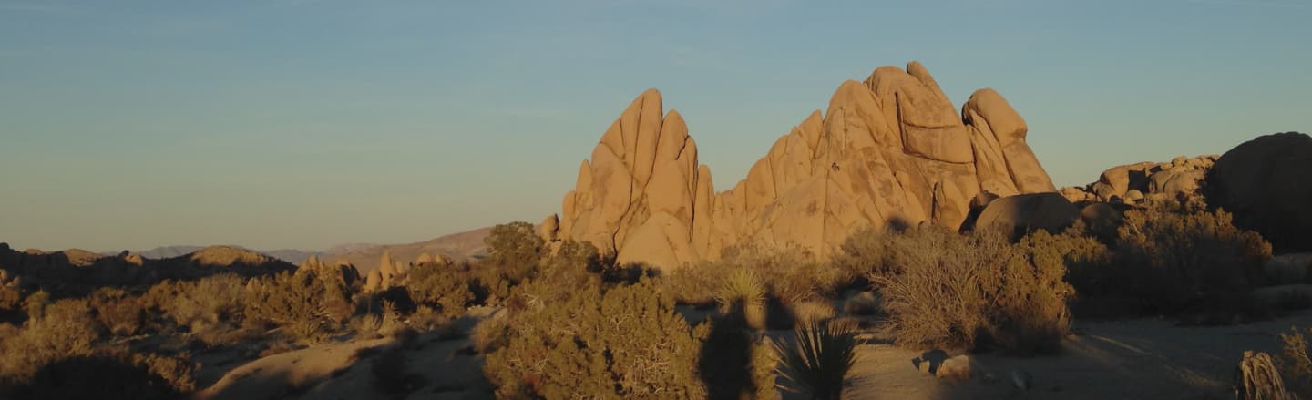
The gap between conditions and safety is real. GOES closes it.
Every year, millions of people head outdoors without clear guidance on how environmental conditions affect their health and safety. Weather apps tell you the temperature. GOES tells you what that temperature means for your body, and exactly how to stay safe.
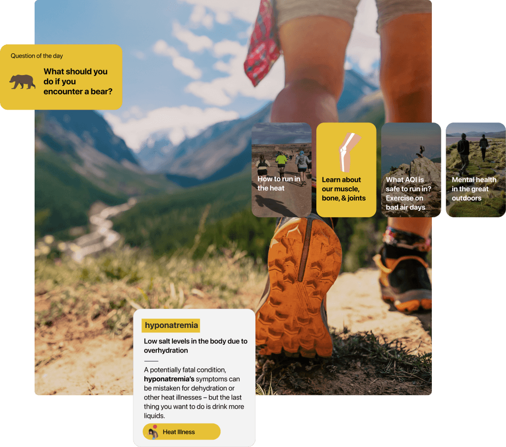
67 medical topics. 44 interactive protocols. Real-time risk intelligence for weather, wildlife, and terrain. All physician-authored. All available offline.
Build real
outdoor intelligence
Most outdoor safety knowledge is scattered across blog posts, Reddit threads, and half-remembered advice. GOES puts physician-authored content in your hands — structured, visual, and built to help you retain what matters.
Test yourself with daily challenges, build your vocabulary with terminology used by wilderness medicine professionals, and explore a growing library of curated content spanning six domains: Injury, Illness, Terrain, Animals, Training, and Natural Disasters.
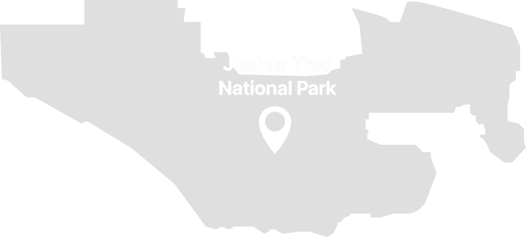
Preparation starts
before the trailhead
GOES monitors real-time and forecasted environmental signals — including temperature, humidity, UV, air quality, wind, and 120+ severe weather alert types — for your exact location.
But raw data is not enough. Our physician-designed algorithms translate those signals into specific health risks: heat illness, hypothermia, sunburn, lightning exposure, and more.
Each risk comes with a severity score and clear, actionable guidance so you know what to watch for and how to respond — before conditions become dangerous.
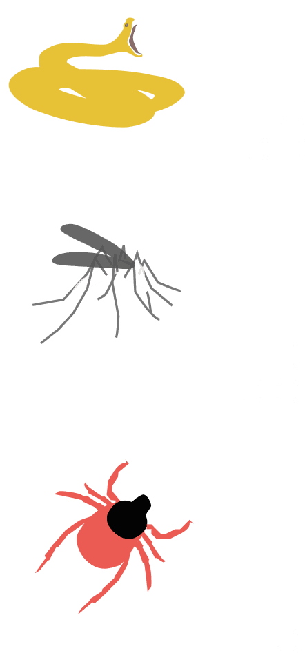
Real-time wildlife and plant risk intelligence
GOES is the only consumer app that forecasts wildlife and dangerous plant risk based on species distribution data, seasonal activity cycles, habitat boundaries, and your real-time location.
When risk is elevated, GOES does not just flag it. You get species-specific prevention guidance, encounter protocols, and first-aid procedures authored by wilderness medicine physicians.
What users are saying
Trusted by hikers, backpackers, and outdoor professionals across the country.
“I’ve learned so much about wilderness medicine that I feel more prepared for the worst.”
It’s fun to test out my knowledge on things like bites and lightning strikes. The weather outlook is way better than the app I’ve been checking daily.
“I feel safer knowing that I have instant access to top medical information and resources when I leave my house.”
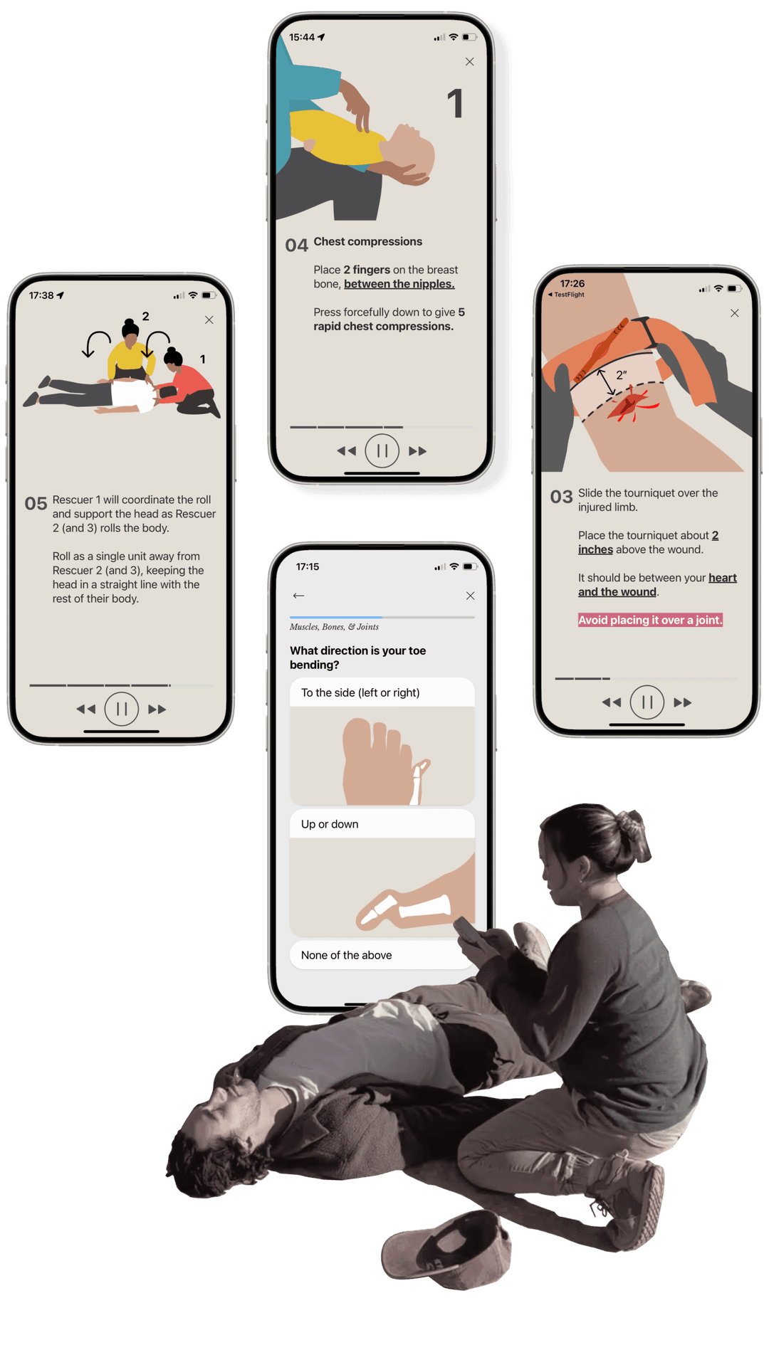
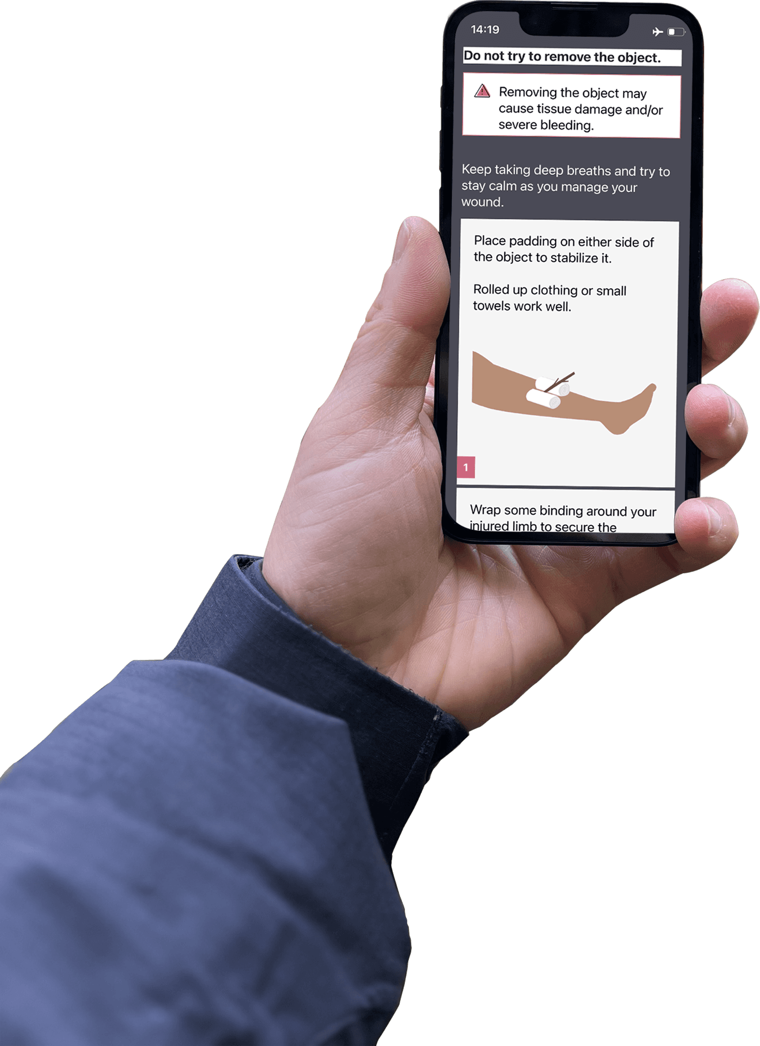
Medical-grade guidance, available offline
The difference between an accident and an emergency is often knowledge — knowing what to do, and when. GOES puts that knowledge in your hands with a comprehensive offline medical toolkit built by the world’s largest collection of wilderness medicine physicians.
Not crowd-sourced safety tips. Clinical expertise, made accessible.


Offline by design.
Not by accident.
Critical safety guidance should not depend on a cell signal. GOES was architected from day one for offline functionality.
Every medical topic, protocol, visual guide, and procedural walkthrough is cached locally and available without connectivity.
When you are miles from the nearest tower, GOES works exactly the same as it does on your couch.
Start your free trialField Reports